Get a monitor and contributor to air quality data in your city.

| # | city | US AQI |
|---|---|---|
| 1 | Seville Grove | 41 |
| 2 | Mandurah | 25 |
| 3 | Albany | 21 |
| 4 | Kalgoorlie | 21 |
| 5 | Perth | 21 |
| 6 | Carnarvon | 20 |
| 7 | Quinns Rocks | 20 |
| 8 | Karratha | 19 |
| 9 | Collie | 15 |
| 10 | The Vines | 14 |
(local time)
SEE WORLD AQI RANKINGAIR QUALITY DATA CONTRIBUTORS
11 Contributors


See all


News
The latest air quality news and resources.
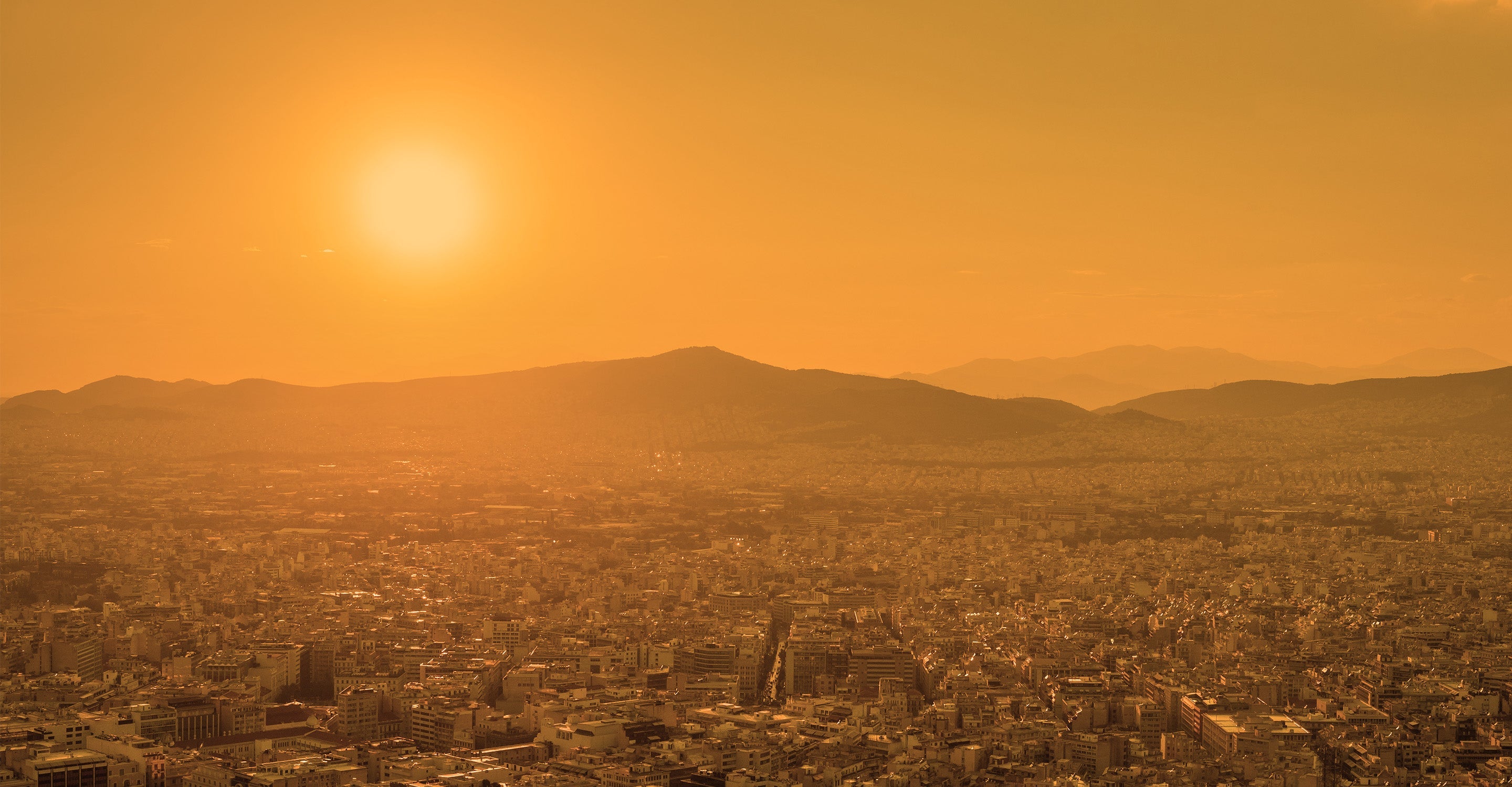
Western Australia (WA) is Australia’s largest state by land mass and 4th most populated, encompassing large areas of desert in the inland east and 13,000 kilometers of coastline to the west. In general, Western Australia experiences relatively clean air quality in comparison to global locations, but the state is also vulnerable to experience some short-term extreme pollution episodes, most often due to bushfires and dust storms. Since even short-term exposure to air pollution can cause a range of health impacts, it is important for Western Australia to manage and continually improve its air quality.
The main pollutants of concern in Western Australia are particulate matter pollution and ozone. Australia governs its air quality by measuring various key pollutions against national standards, known as the National Environment Protection (Ambient Air Quality) Measure (Air NEPM). These standards set short term (such as 24h) and annual standards that air pollutants should not exceed, to avoid the worst health impacts from air pollution on Australian citizens. While much of Australia’s air quality achieves national standards, within Western Australia air pollution does sometimes exceed these limits, most often for photochemical smog (such as ozone) and haze in the state capital Perth, and for particle pollution in other regional areas.1 Particulate matter describes tiny airborne particles that are less than 2.5 or 10 microns in diameter (abbreviated as PM2.5 and PM10 respectively); for context, that’s approximately one thirtieth of the width of a human hair. These particles are particularly hazardous for human health, since their microscopic size enables them to travel deep into the human system, entering the lungs upon inhalation, with PM2.5 then able to travel further into the bloodstream, causing a range of health effects.
In IQAir’s 2019 World Air Quality Report, among the 8 Western Australian cities included with available PM2.5 data, 4 cities exceeded Australia’s national annual air quality standard of 8 μg/m3; however, all locations achieved the World Health Organisation (WHO)’s slightly less strict annual standard of 10 μg/m3. The most polluted locations in Western Australia that exceeded their national standard include the coastal city of Bunbury (8.9 μg/m3), the south-west city of Busselton (8.6 μg/m3), Cockburn (8.3 μg/m3), and Swan (8.1 μg/m3).2 Western Australia’s location with the cleanest air quality for PM2.5 levels that emerged during 2019, was air quality in the Perth suburb The Vines, with an annual average concentration of 6.5 μg/m3.
Live air quality information can be found in the Western Australia air quality map at the top of this page, which also includes real-time wildfire updates. These, along with a 7-day Western Australia air pollution forecast can be followed any time using the IQAir AirVisual air pollution app.
Exposure to air pollution in Western Australia can lead to a range of health impacts: short-term exposure can result in the aggravation of existing conditions such as asthma, in addition to irritation of the eyes, nose and throat. The long-term effects of exposure air pollution can increase people’s risk of developing cardiovascular and respiratory diseases, such as chronic obstructive pulmonary disease (COPD) and lung cancer, in addition to increased risk of stroke, and premature mortality. While Australian levels of air pollution are relatively low, the World Health Organisation (WHO) emphasises that there is no known “safe” limit of air pollution, below which no health effects may be observed.
Accordingly, an Australian study on the health effects of air pollution in major Australian cities including Perth, found that a 10 μg/m3 increase in ambient PM2.5 levels can be associated with a 1% increase in the daily total number of deaths.3 More specifically, another study in the Medical Journal of Australia estimated the health burden from elevated PM2.5 concentrations within Western Australia between 2002-2017 as 41 excess deaths, 273 additional hospitalisations (99 cardiovascular, and 174 respiratory), plus an additional 123 emergency department attendances, related to asthma.4 The majority of these effects were estimated to stem from pollution elevations caused by prescribed burns, followed by wildfires, then other causes of elevated air pollution in Western Australia.4
Air pollution in Western Australia comes from a range of sources, both natural and related to human activity. Pollutants such as carbon monoxide (CO) and nitrogen dioxide (NO2) are often created through industrial activities and motor vehicles, while sulfur dioxide (SO2) is attributable to industrial activities and the processing of some mineral ores which contain sulfur.5 Of the state’s main pollutants of concern, particulate matter can be emitted from industrial activities and motor vehicles, as well as natural sources such as bushfires, dust storms and pollen. Ozone is known as a ‘secondary pollutant’, meaning that it is not often directly emitted from a single source, but rather it is formed through a chemical reaction between other pollutants (called ‘precursors’), such as volatile organic compounds (VOCs) and nitrogen oxides (NOx) in the presence of sunlight. Accordingly, high levels of ozone are most likely to occur during hot, sunny conditions.
Australia as a whole has long been susceptible to experience seasonal bushfires on an annual basis, and Western Australia is no exception. The timing of conditions that make wildfire risks most severe vary across Australia with regional weather patterns. Generally, northern Australia is most at risk during winter, while southern Australia is most at risk during dry summer months. This applies to Western Australia state too, with its northern areas at highest risk of fires during warm, dry and sunny winter and spring, when grasses are dead and dried; while its southern areas are most vulnerable during late spring and early autumn, when natural ‘fuels’ such as plant matter have dried after the winter rains.6 Western Australia fires can occur naturally, as a result of lightning strikes, or through human influence, either accidentally (such as via an accidental spark), or deliberately through planned burning or arson.
During the summer of 2019-2020, Australia experienced one of its worst fire seasons on record, known colloquially as the “black summer”. The fires this year were particularly severe due to several months of dry conditions, low rainfall, and record-breaking temperatures. The black summer’s bushfires comprised several major fires that spanned several states and territories over a prolonged period of months, Western Australia included. While the states of New South Wales and Victoria’s wildfires were the most damaging overall, Western Australia suffered the second largest burned area of land (2.04 million hectares), after NSW (5.68 million ha), and followed by Victoria (1.58 million ha).7 While no people were killed as a direct result of the fires in WA, 8 homes were lost. Furthermore, experts estimate that the smoke generated by the black summer’s wildfires caused more severe health impacts than the direct injuries caused by the fires themselves. The Medical Journal of Australia estimated that while the black summer’s fires led to 33 direct deaths, the smoke exposure caused nationwide led to a further 417 deaths from negative health impacts, an additional 3,151 hospital admittances for cardiorespiratory problems, and 1,305 hospitalisations for asthma attacks.8
Western Australia air pollution is managed by the state’s Department of Environment Regulation (DER). WA’s DER carries out air quality monitoring across 15 monitoring stations state-wide, with the aim to measure air quality levels against Australia’s national air quality standards: the National Environment Protection (Ambient Air Quality) Measure (Air NEPM). 9 of the 15 monitoring stations are located within Perth’s Metropolitan Region, while the remaining 6 are distributed across regional areas including Albany, Bunbury, Busselton, Collie, Geraldton and Kalgoorlie. WA’s air quality stations measure 5 key pollutants: carbon monoxide (CO), photochemical oxidants (such as ozone), nitrogen dioxide (NO2), sulfur dioxide (SO2), and particulate matter (PM2.5 and PM10).
In addition to government-led monitoring, Western Australia air quality information is also extended by several community air quality monitoring stations, through deploying low-cost sensors. The data from these are also included in the dynamic Western Australia air quality map at the top of this page.
Western Australia uses the national Australian air quality index system, to communicate its measured air quality data using a Western Australia Air Quality Index to the public. The Western Australia AQI calculates an AQI number for each different pollutant, expressed as a percentage of its related NEPM standard value. A Western Australia AQI of ‘100’ therefore indicates a pollutant is at its maximum allowable amount under the standard; an AQI of 200 indicates an exceedance twofold. For locations where multiple pollutants are measured, the pollutant with the highest AQI will dictate that location’s overall AQI number. The index is colour coded, with 0-33 representing “Very Good” air quality (blue), up to 200+ representing “Extreme” air pollution (dark grey).9 In this way, the Western Australia government strives to communicate air quality levels to the public in a way that is easy to understand, and quickly act to protect health if needed.
+ Article resources
[1] Western Australia EPA. “State of the Environment Report 2007: Western Australia”. Western Australia EPA website, 2007.
[2] IQAir. “2019 World Air Quality Report”. IQAir website, March 18, 2020.
[3] Climate and Health Alliance. “Inquiry into the impacts on health of air quality in Australia”. Australian Government website, March, 2013.
[4] Nicolas Borchers Arriagada et al. “Exceedances of national air quality standards for particulate matter in Western Australia: sources and health-related impacts”. Medical Journal of Australia 213(6): 280-281, August 2020. DOI: 10.5694/mja2.50547
[5] Government of Western Australia Department of Environment Regulation. “Air Quality Monitoring in Western Australia”. Government of Western Australia DER website, July, 2016.
[6] Australian Government Bureau of Meteorology. “Bushfire weather”. Australian Government BOM website, n.d.
[7] S. M. Davey and A. Sarre. “Editorial: the 2019/20 Black Summer bushfires”. Australian Forestry 83(2): 47-51, June 4, 2020. DOI: 10.1080/00049158.2020.1769899
[8] John Pickrell. “Smoke from Australia’s bushfires killed far more people than the fires did, study says”. The Guardian, March 20, 2020.
[9] Government of Western Australia Department of Water and Environmental Regulation. “Air Quality Index”. Government of Western Australia DWER website, n.d.
11Contributors
2 Government Contributors
14 stations
1 station
2 Individual Contributors
1 station
1 station
7 Anonymous Contributors
7 stations
3 Data sources